Map and add detail where others miss! Pedestrian infrastructure is invisible to most maps. On-device AISemantic segmentation and feature detection run locally.No raw imagery leaves the device. Depth + GPS + Human-in-the-LoopLiDAR-informed depth, spatial annotation, and real-time validation. Designed for…
The Sidewalks Inventory and Accessibility Mapping under Washington State Proviso-
Under the directive of the state legislature and using innovative technology by the Taskar Center for Accessible Technology, Washington is now creating an AI-generated, human-vetted network graph inventory of sidewalks across Washington State—the OS-CONNECT dataset. With this data, state agencies,…
AVIV ScoutRoute
AVIV ScoutRoute Community Mapping for Safer, More Inclusive Streets AVIV ScoutRoute is a fully accessible mobile app that helps communities, planners, and everyday travelers identify and document barriers in the built environment — including sidewalks, crossings, curb ramps, and other…
Pacific Northwest Adaptive Technology Library
Our mission is to provide free and easy access to accessible tools to the community. We also host events teaching volunteers to “adapt”, or fix these tools for better accessibility. The PNW Adapted Toy Library Check out this video for…
Transportation Data Exchange Initiative
The Transportation Data Exchange Initiative (TDEI) is focused on developing a shared, standardized framework for transportation data, enabling seamless integration across mobility systems. This project aims to provide mobility benefits for travelers and service providers by collecting and providing infrastructure…
AccessMap Multimodal
Route Planning For Real Lives Sidewalks are the vital threads linking us to travel options, but they come with challenges. AccessMap.app bridges gaps by providing detailed info on pedestrian paths, transit stations, elevation changes, curb ramps, and more. Tailor routes…
OpenSidewalks
Pedestrians have a wide variety of needs and preferences. For example, a given wheelchair user may need to avoid steep hills whereas another will attempt any hill. Therefore, data on pedestrian spaces must be detailed and specific: instead of labeling…
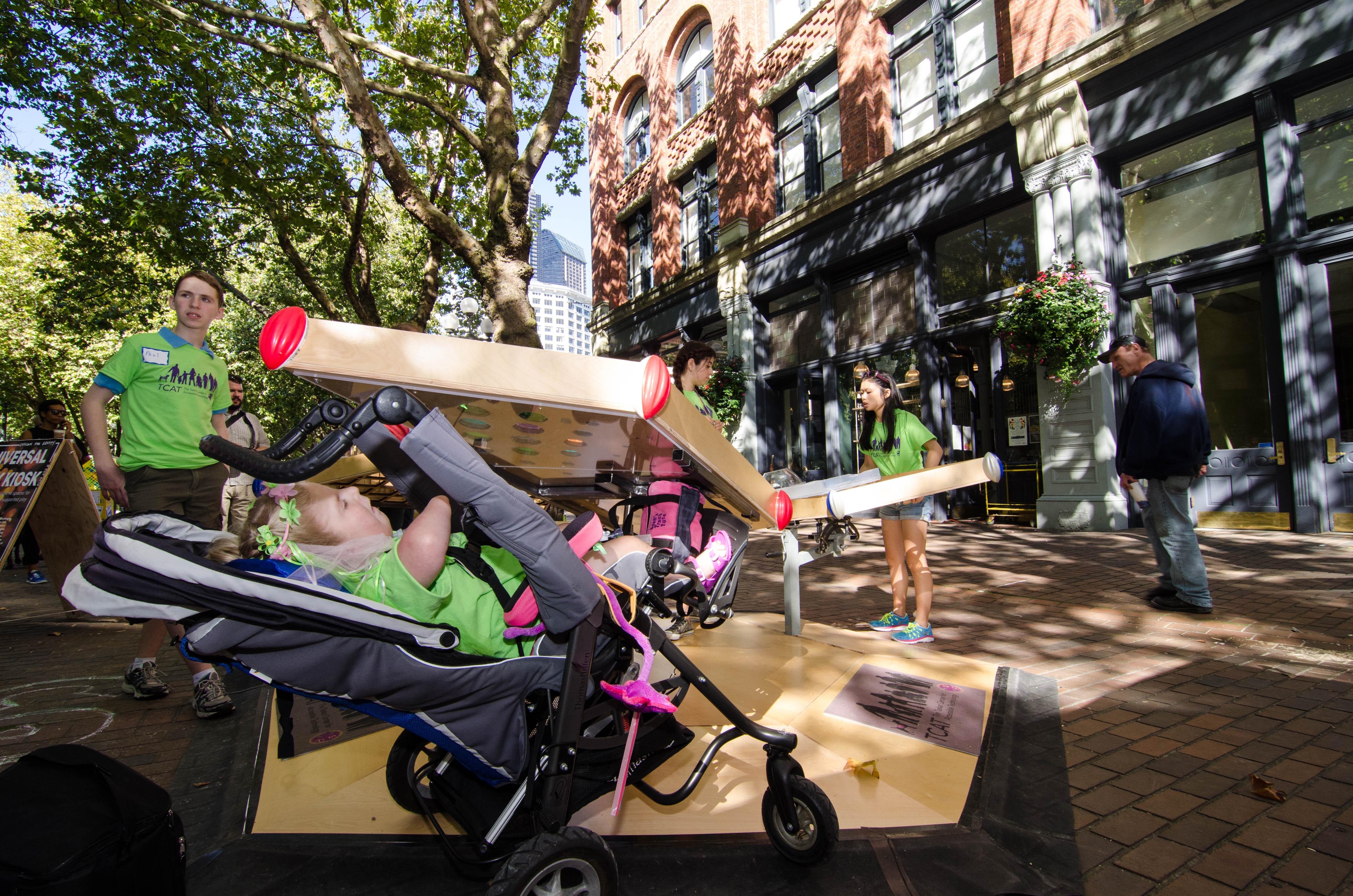
Universal Collaborative Play
Play is for everyone! The Universal Playgroup creates opportunities for team play and access to open-source inclusive design for all. The Universal Playgroup started as a re-imagining of a work and play space that is intended for all abilities. An…
iDesign Lab
iDesign Lab engages a community of practice in open source technology design, build, and use. We engage communities of practice in collaborative design aiming to increase access to everyday technologies through community ideation and development of ability-focused novel interfaces, the…
Gesture Learning
Apple products use the same gesture vocabulary for input. Certainly, unifying gestures across devices helps their adoption. However, in the context of a population with hugely variable abilities, achieving broad or general impact requires the adaptation or customization of input…


